Position offset of the globe relative to the canvas center.
backgroundColor
string
#000011
Background color.
backgroundImageUrl
string
-
URL of the image to be used as background to the globe. If no image is provided, the background color is shown instead.
waitForGlobeReady
bool
true
Whether to wait until the globe wrapping or background image has been fully loaded before rendering the globe or any of the data layers.
animateIn
bool
true
Whether to animate the globe initialization, by scaling and rotating the globe into its initial position. This prop only has an effect on component mount.
Globe Layer
Prop
Type
Default
Description
globeImageUrl
string
-
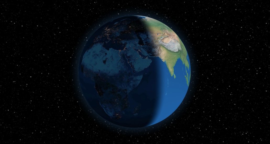
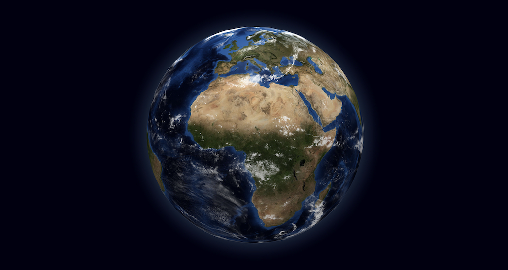
URL of the image used in the material that wraps the globe. This image should follow an equirectangular projection. If no image is provided, the globe is represented as a black sphere.
bumpImageUrl
string
-
URL of the image used to create a bump map in the material, to represent the globe's terrain. This image should follow an equirectangular projection.
globeTileEngineUrl
func(x, y, l)
-
Function that defines the URL of the slippy map tile engine to cover the globe surface. The slippy map coordinates x, y and l (zoom level) are passed as arguments and the function is expected to return a URL string. A falsy value will disable the tiling engine.
showGlobe
bool
true
Whether to show the globe surface itself.
showGraticules
bool
false
Whether to show a graticule grid demarking latitude and longitude lines at every 10 degrees.
showAtmosphere
bool
true
Whether to show a bright halo surrounding the globe, representing the atmosphere.
atmosphereColor
string
lightskyblue
The color of the atmosphere.
atmosphereAltitude
string
0.15
The max altitude of the atmosphere, in terms of globe radius units.
globeCurvatureResolution
number
4
Resolution in angular degrees of the sphere curvature. The finer the resolution, the more the globe is fragmented into smaller faces to approximate the spheric surface, at the cost of performance.
ThreeJS material used to wrap the globe. Can be used for more advanced styling of the globe, like in this example.
onGlobeReady
func
-
Callback function to invoke immediately after the globe has been initialized and visible on the scene.
onGlobeClick
func
-
Callback function for (left-button) clicks on the globe. The clicked globe coordinates and the event object are included as arguments: onGlobeClick({ lat, lng }, event).
onGlobeRightClick
func
-
Callback function for right-clicks on the globe. The clicked globe coordinates and the event object are included as arguments: onGlobeRightClick({ lat, lng }, event).
Method
Arguments
Description
globeTileEngineClearCache
-
Clear the tile engine cache.
Points Layer
Prop
Type
Default
Description
pointsData
array
[]
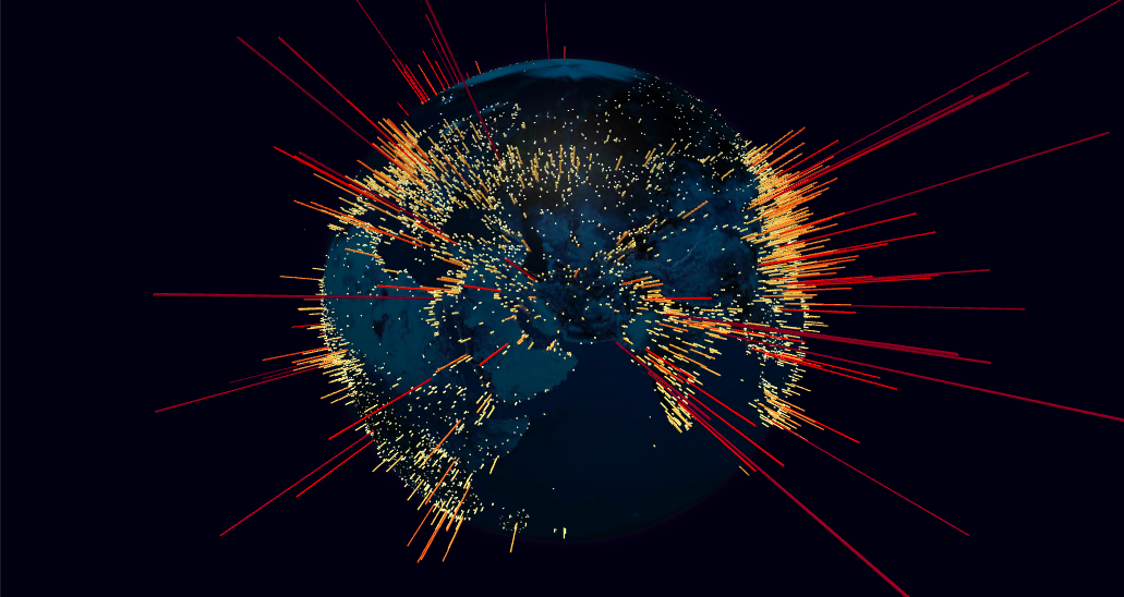
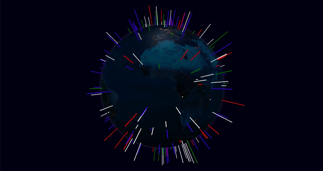
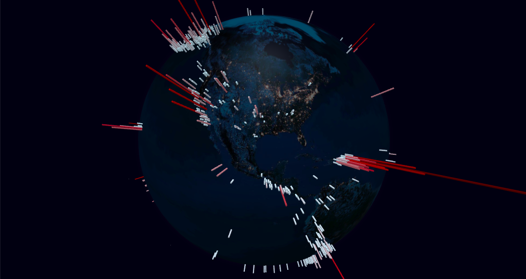
List of points to represent in the points map layer. Each point is displayed as a cylindrical 3D object rising perpendicularly from the surface of the globe.
pointLabel
string or func
name
Point object accessor function or attribute for label (shown as tooltip). Supports plain text or HTML content.
pointLat
number, string or func
lat
Point object accessor function, attribute or a numeric constant for the cylinder's center latitude coordinate.
pointLng
number, string or func
lng
Point object accessor function, attribute or a numeric constant for the cylinder's center longitude coordinate.
pointColor
string or func
() => '#ffffaa'
Point object accessor function or attribute for the cylinder color.
pointAltitude
number, string or func
0.1
Point object accessor function, attribute or a numeric constant for the cylinder's altitude in terms of globe radius units (0 = 0 altitude (flat circle), 1 = globe radius).
pointRadius
number, string or func
0.25
Point object accessor function, attribute or a numeric constant for the cylinder's radius, in angular degrees.
pointResolution
number
12
Radial geometric resolution of each cylinder, expressed in how many slice segments to divide the circumference. Higher values yield smoother cylinders.
pointsMerge
bool
false
Whether to merge all the point meshes into a single ThreeJS object, for improved rendering performance. Visually both options are equivalent, setting this option only affects the internal organization of the ThreeJS objects.
pointsTransitionDuration
number
1000
Duration (ms) of the transition to animate point changes involving geometry modifications. A value of 0 will move the objects immediately to their final position. New objects are animated by scaling them from the ground up. Only works if pointsMerge is disabled.
onPointClick
func
-
Callback function for point (left-button) clicks. The point object, the event object and the clicked coordinates are included as arguments: onPointClick(point, event, { lat, lng, altitude }). Only works if pointsMerge is disabled.
onPointRightClick
func
-
Callback function for point right-clicks. The point object, the event object and the clicked coordinates are included as arguments: onPointRightClick(point, event, { lat, lng, altitude }). Only works if pointsMerge is disabled.
onPointHover
func
-
Callback function for point mouse over events. The point object (or null if there's no point under the mouse line of sight) is included as the first argument, and the previous point object (or null) as second argument: onPointHover(point, prevPoint). Only works if pointsMerge is disabled.
Arcs Layer
Prop
Type
Default
Description
arcsData
array
[]
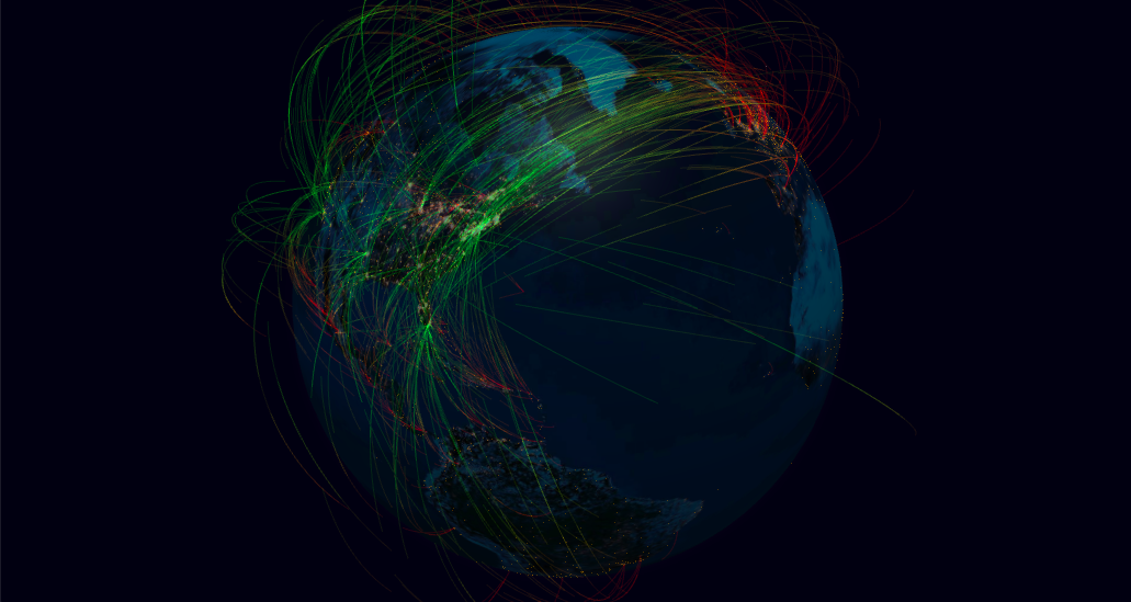
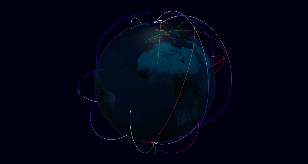
List of links to represent in the arcs map layer. Each link is displayed as an arc line that rises from the surface of the globe, connecting the start and end coordinates.
arcLabel
string or func
name
Arc object accessor function or attribute for label (shown as tooltip). Supports plain text or HTML content.
arcStartLat
number, string or func
startLat
Arc object accessor function, attribute or a numeric constant for the line's start latitude coordinate.
arcStartLng
number, string or func
startLng
Arc object accessor function, attribute or a numeric constant for the line's start longitude coordinate.
arcStartAltitude
number, string or func
0
Arc object accessor function, attribute or a numeric constant for the line's start altitude.
arcEndLat
number, string or func
endLat
Arc object accessor function, attribute or a numeric constant for the line's end latitude coordinate.
arcEndLng
number, string or func
endLng
Arc object accessor function, attribute or a numeric constant for the line's end longitude coordinate.
arcEndAltitude
number, string or func
0
Arc object accessor function, attribute or a numeric constant for the line's end altitude.
arcColor
string, [string, ...] or func
() => '#ffffaa'
Arc object accessor function or attribute for the line's color. Also supports color gradients by passing an array of colors, or a color interpolator function.
arcAltitude
number, string or func
null
Arc object accessor function, attribute or a numeric constant for the arc's maximum altitude (ocurring at the half-way distance between the two points) in terms of globe radius units (0 = 0 altitude (ground line), 1 = globe radius). If a value of null or undefined is used, the altitude is automatically set proportionally to the distance between the two points, according to the scale set in arcAltitudeAutoScale.
arcAltitudeAutoScale
number, string or func
0.5
Arc object accessor function, attribute or a numeric constant for the scale of the arc's automatic altitude, in terms of units of the great-arc distance between the two points. A value of 1 indicates the arc should be as high as its length on the ground. Only applicable if arcAltitude is not set.
arcStroke
number, string or func
null
Arc object accessor function, attribute or a numeric constant for the line's diameter, in angular degrees. A value of null or undefined will render a ThreeJS Line whose width is constant (1px) regardless of the camera distance. Otherwise, a TubeGeometry is used.
arcCurveResolution
number
64
Arc's curve resolution, expressed in how many straight line segments to divide the curve by. Higher values yield smoother curves.
arcCircularResolution
number
6
Radial geometric resolution of each line, expressed in how many slice segments to divide the tube's circumference. Only applicable when using Tube geometries (defined arcStroke).
arcDashLength
number, string or func
1
Arc object accessor function, attribute or a numeric constant for the length of the dashed segments in the arc, in terms of relative length of the whole line (1 = full line length).
arcDashGap
number, string or func
0
Arc object accessor function, attribute or a numeric constant for the length of the gap between dash segments, in terms of relative line length.
arcDashInitialGap
number, string or func
0
Arc object accessor function, attribute or a numeric constant for the length of the initial gap before the first dash segment, in terms of relative line length.
arcDashAnimateTime
number, string or func
0
Arc object accessor function, attribute or a numeric constant for the time duration (in ms) to animate the motion of dash positions from the start to the end point for a full line length. A value of 0 disables the animation.
arcsTransitionDuration
number
1000
Duration (ms) of the transition to animate arc changes involving geometry modifications. A value of 0 will move the arcs immediately to their final position. New arcs are animated by rising them from the ground up.
onArcClick
func
-
Callback function for arc (left-button) clicks. The arc object, the event object and the clicked coordinates are included as arguments: onArcClick(arc, event, { lat, lng, altitude }).
onArcRightClick
func
-
Callback function for arc right-clicks. The arc object, the event object and the clicked coordinates are included as arguments: onArcRightClick(arc, event, { lat, lng, altitude }).
onArcHover
func
-
Callback function for arc mouse over events. The arc object (or null if there's no arc under the mouse line of sight) is included as the first argument, and the previous arc object (or null) as second argument: onArcHover(arc, prevArc).
Polygons Layer
Prop
Type
Default
Description
polygonsData
array
[]
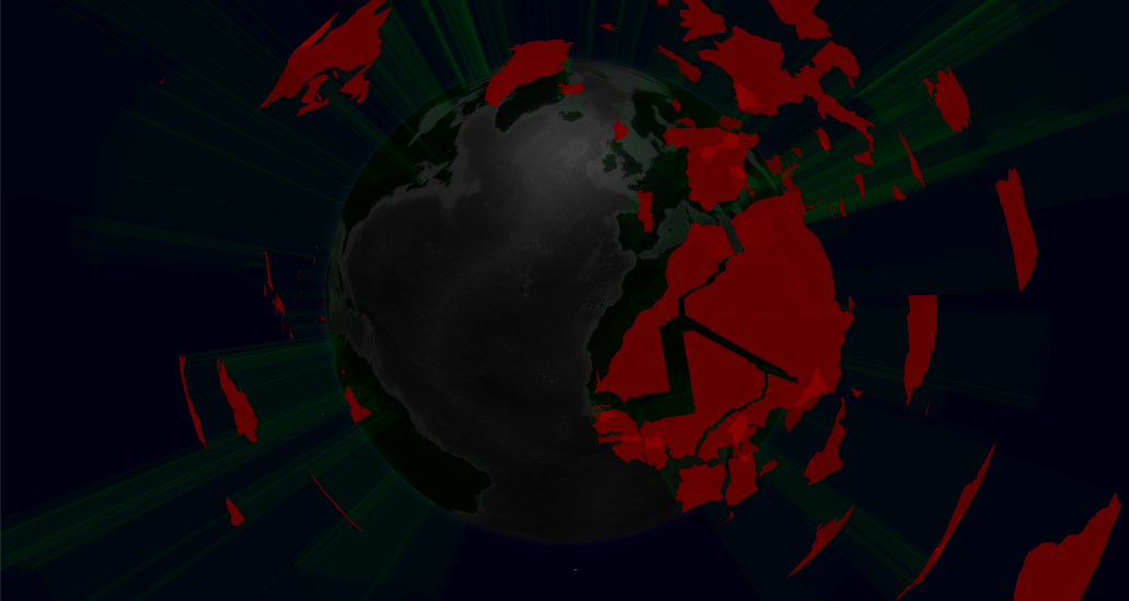
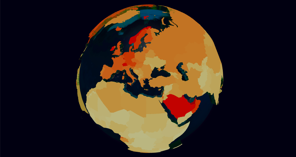
List of polygon shapes to represent in the polygons map layer. Each polygon is displayed as a shaped cone that extrudes from the surface of the globe.
polygonLabel
string or func
name
Polygon object accessor function or attribute for label (shown as tooltip). Supports plain text or HTML content.
polygonGeoJsonGeometry
string or func
geometry
Polygon object accessor function or attribute for the GeoJson geometry specification of the polygon's shape. The returned value should have a minimum of two fields: type and coordinates. Only GeoJson geometries of type Polygon or MultiPolygon are supported, other types will be skipped.
polygonCapColor
string or func
() => '#ffffaa'
Polygon object accessor function or attribute for the color of the top surface.
polygonCapMaterial
Material, string or func
-
Polygon object accessor function, attribute or material object for the ThreeJS material to use in the top surface. This prop takes precedence over polygonCapColor, which will be ignored if both are defined.
polygonSideColor
string or func
() => '#ffffaa'
Polygon object accessor function or attribute for the color of the cone sides.
polygonSideMaterial
Material, string or func
-
Polygon object accessor function, attribute or material object for the ThreeJS material to use in the cone sides. This prop takes precedence over polygonSideColor, which will be ignored if both are defined.
polygonStrokeColor
string or func
-
Polygon object accessor function or attribute for the color to stroke the polygon perimeter. A falsy value will disable the stroking.
polygonAltitude
number, string or func
0.01
Polygon object accessor function, attribute or a numeric constant for the polygon cone's altitude in terms of globe radius units (0 = 0 altitude (flat polygon), 1 = globe radius).
polygonCapCurvatureResolution
number, string or func
5
Polygon object accessor function, attribute or a numeric constant for the resolution (in angular degrees) of the cap surface curvature. The finer the resolution, the more the polygon is fragmented into smaller faces to approximate the spheric surface, at the cost of performance.
polygonsTransitionDuration
number
1000
Duration (ms) of the transition to animate polygon altitude changes. A value of 0 will size the cone immediately to their final altitude. New polygons are animated by rising them from the ground up.
onPolygonClick
func
-
Callback function for polygon (left-button) clicks. The polygon object, the event object and the clicked coordinates are included as arguments: onPolygonClick(polygon, event, { lat, lng, altitude }).
onPolygonRightClick
func
-
Callback function for polygon right-clicks. The polygon object, the event object and the clicked coordinates are included as arguments: onPolygonRightClick(polygon, event, { lat, lng, altitude }).
onPolygonHover
func
-
Callback function for polygon mouse over events. The polygon object (or null if there's no polygon under the mouse line of sight) is included as the first argument, and the previous polygon object (or null) as second argument: onPolygonHover(polygon, prevPolygon).
Paths Layer
Prop
Type
Default
Description
pathsData
array
[]
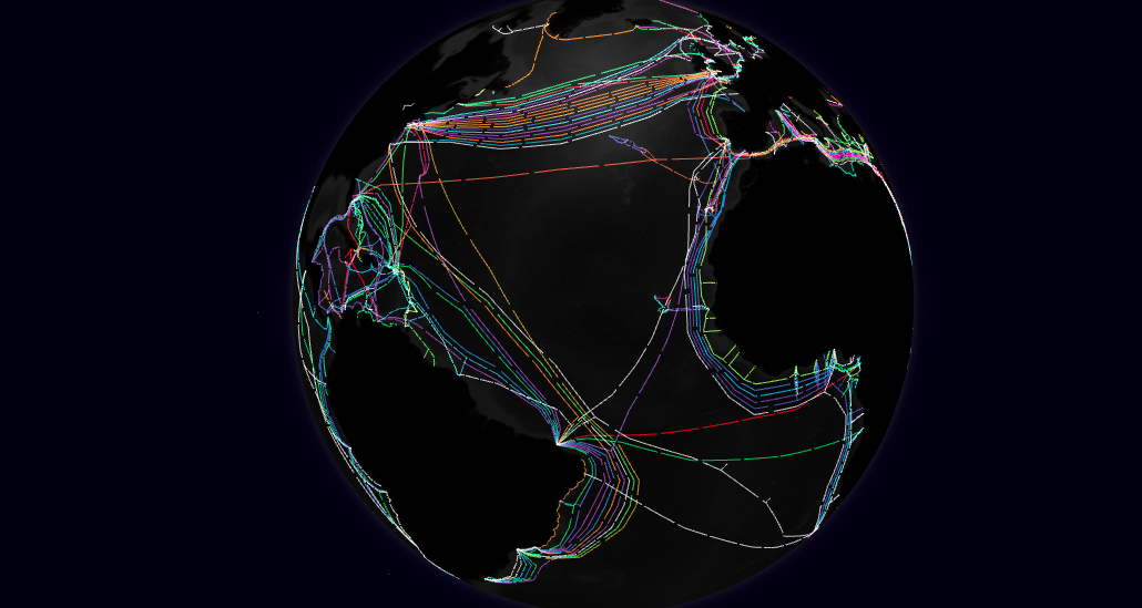
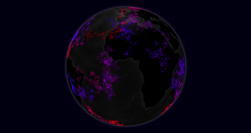
List of lines to represent in the paths map layer. Each path is displayed as a line that connects all the coordinate pairs in the path array.
pathLabel
string or func
name
Path object accessor function or attribute for label (shown as tooltip). Supports plain text or HTML content.
pathPoints
array, string or func
pnts => pnts
Path object accessor function, attribute or an array for the set of points that define the path line. By default, each path point is assumed to be a 2-position array ([<lat>, <lon>]). This default behavior can be modified using the pathPointLat and pathPointLng methods.
pathPointLat
number, string or func
arr => arr[0]
Path point object accessor function, attribute or a numeric constant for the latitude coordinate.
pathPointLng
number, string or func
arr => arr[1]
Path point object accessor function, attribute or a numeric constant for the longitude coordinate.
pathPointAlt
number, string or func
0.001
Path point object accessor function, attribute or a numeric constant for the point altitude, in terms of globe radius units (0 = 0 altitude (ground), 1 = globe radius).
pathResolution
number
2
The path's angular resolution, in lat/lng degrees. If the ground distance (excluding altitude) between two adjacent path points is larger than this value, the line segment will be interpolated in order to approximate the curvature of the sphere surface. Lower values yield more perfectly curved lines, at the cost of performance.
pathColor
string, [string, ...] or func
() => '#ffffaa'
Path object accessor function or attribute for the line's color. Also supports color gradients by passing an array of colors, or a color interpolator function. Transparent colors are not supported in Fat Lines with set width.
pathStroke
number, string or func
null
Path object accessor function, attribute or a numeric constant for the line's diameter, in angular degrees. A value of null or undefined will render a ThreeJS Line whose width is constant (1px) regardless of the camera distance. Otherwise, a FatLine is used.
pathDashLength
number, string or func
1
Path object accessor function, attribute or a numeric constant for the length of the dashed segments in the path line, in terms of relative length of the whole line (1 = full line length).
pathDashGap
number, string or func
0
Path object accessor function, attribute or a numeric constant for the length of the gap between dash segments, in terms of relative line length.
pathDashInitialGap
number, string or func
0
Path object accessor function, attribute or a numeric constant for the length of the initial gap before the first dash segment, in terms of relative line length.
pathDashAnimateTime
number, string or func
0
Path object accessor function, attribute or a numeric constant for the time duration (in ms) to animate the motion of dash positions from the start to the end point for a full line length. A value of 0 disables the animation.
pathTransitionDuration
number
1000
Duration (ms) of the transition to animate path changes. A value of 0 will move the paths immediately to their final position. New paths are animated from start to end.
onPathClick
func
-
Callback function for path (left-button) clicks. The path object, the event object and the clicked coordinates are included as arguments: onPathClick(path, event, { lat, lng, altitude }).
onPathRightClick
func
-
Callback function for path right-clicks. The path object, the event object and the clicked coordinates are included as arguments: onPathRightClick(path, event, { lat, lng, altitude }).
onPathHover
func
-
Callback function for path mouse over events. The path object (or null if there's no path under the mouse line of sight) is included as the first argument, and the previous path object (or null) as second argument: onPathHover(path, prevPath).
Heatmaps Layer
Prop
Type
Default
Description
heatmapsData
array
[]
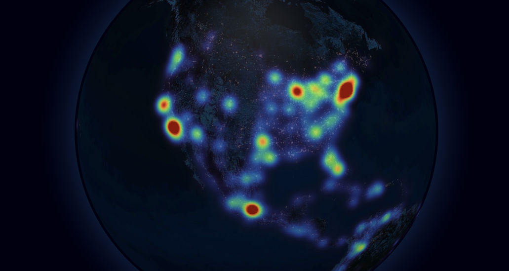
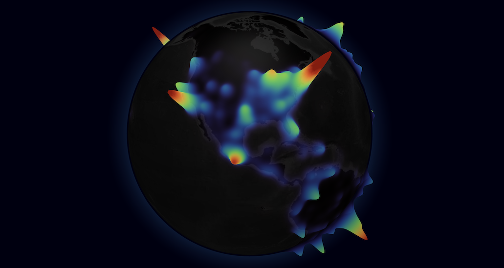
List of heatmap datasets to represent in the heatmaps map layer. Each set of points is represented as an individual global heatmap with varying color and/or altitude, according to the point density. It uses a Gaussian KDE to perform the density estimation, based on the great-arc distance between points.
heatmapPoints
array, string or func
pnts => pnts
Heatmap object accessor function, attribute or an array for the set of points that define the heatmap. By default, each point is assumed to be a 2-position array ([<lat>, <lon>]). This default behavior can be modified using the heatmapPointLat and heatmapPointLng methods.
heatmapPointLat
number, string or func
arr => arr[0]
Heatmap point object accessor function, attribute or a numeric constant for the latitude coordinate.
heatmapPointLng
number, string or func
arr => arr[1]
Heatmap point object accessor function, attribute or a numeric constant for the longitude coordinate.
heatmapPointWeight
number, string or func
1
Heatmap point object accessor function, attribute or a numeric constant for the weight of the point. The weight of a point determines its influence on the density of the surrounding area.
heatmapBandwidth
number, string or func
2.5
Heatmap object accessor function, attribute or a numeric constant for the heatmap bandwidth, in angular degrees. The bandwidth is an internal parameter of the Gaussian kernel function and defines how localized is the influence of a point on distant locations. A narrow bandwidth leads to a more spiky representation, while a broad one has smoother curves.
Heatmap object accessor function or attribute for the color interpolator function to represent density in the heatmap. This function should receive a number between 0 and 1 (or potentially higher if saturation > 1), and return a color string.
heatmapColorSaturation
number, string or func
1.5
Heatmap object accessor function, attribute or a numeric constant for the color scale saturation. The saturation is a multiplier of the normalized density value ([0,1]) before passing it to the color interpolation function. It can be used to dampen outlier peaks in density and bring the data floor into view.
heatmapBaseAltitude
number, string or func
0.01
Heatmap object accessor function, attribute or a numeric constant for the heatmap base floor altitude in terms of globe radius units (0 = 0 altitude, 1 = globe radius).
heatmapTopAltitude
number, string or func
-
Heatmap object accessor function, attribute or a numeric constant for the heatmap top peak altitude in terms of globe radius units (0 = 0 altitude, 1 = globe radius). An equal value to the base altitude will yield a surface flat heatmap. If a top altitude is set, the variations in density will be used to define the altitude curves between base and top.
heatmapsTransitionDuration
number
0
Duration (ms) of the transition to animate heatmap changes. A value of 0 will set the heatmap colors/altitudes immediately in their final position. New heatmaps are animated by rising them from the ground up and gently fading in through the color scale.
onHeatmapClick
func
-
Callback function for heatmap (left-button) clicks. The heatmap object, the event object and the clicked coordinates are included as arguments: onHeatmapClick(heatmap, event, { lat, lng, altitude }).
onHeatmapRightClick
func
-
Callback function for heatmap right-clicks. The heatmap object, the event object and the clicked coordinates are included as arguments: onHeatmapRightClick(heatmap, event, { lat, lng, altitude }).
onHeatmapHover
func
-
Callback function for heatmap mouse over events. The heatmap object (or null if there's no heatmap under the mouse line of sight) is included as the first argument, and the previous heatmap object (or null) as second argument: onHeatmapHover(heatmap, prevHeatmap).
Hex Bin Layer
Prop
Type
Default
Description
hexBinPointsData
array
[]
List of points to aggregate using the hex bin map layer. Each point is added to an hexagonal prism 3D object that represents all the points within a tesselated portion of the space.
hexLabel
string or func
-
Hex object accessor function or attribute for label (shown as tooltip). An hex object includes all points binned, and has the syntax: { points, sumWeight, center: { lat, lng } }. Supports plain text or HTML content.
hexBinPointLat
number, string or func
lat
Point object accessor function, attribute or a numeric constant for the latitude coordinate.
hexBinPointLng
number, string or func
lng
Point object accessor function, attribute or a numeric constant for the longitude coordinate.
hexBinPointWeight
number, string or func
1
Point object accessor function, attribute or a numeric constant for the weight of the point. Weights for points in the same bin are summed and determine the hexagon default altitude.
hexBinResolution
number
4
The geographic binning resolution as defined by H3. Determines the area of the hexagons that tesselate the globe's surface. Accepts values between 0 and 15. Level 0 partitions the earth in 122 (mostly) hexagonal cells. Each subsequent level sub-divides the previous in roughly 7 hexagons.
hexMargin
number or func
0.2
The radial margin of each hexagon. Margins above 0 will create gaps between adjacent hexagons and serve only a visual purpose, as the data points within the margin still contribute to the hexagon's data. The margin is specified in terms of fraction of the hexagon's surface diameter. Values below 0 or above 1 are disadvised. This property also supports using an accessor method based on the hexagon's aggregated data, following the syntax: hexMargin(({ points, sumWeight, center: { lat, lng }}) => ...). This method should return a numeric constant.
hexAltitude
number or func
({ sumWeight }) => sumWeight * 0.01
The altitude of each hexagon, in terms of globe radius units (0 = 0 altitude (flat hexagon), 1 = globe radius). This property also supports using an accessor method based on the hexagon's aggregated data, following the syntax: hexAltitude(({ points, sumWeight, center: { lat, lng }}) => ...). This method should return a numeric constant.
hexTopCurvatureResolution
number
5
The resolution (in angular degrees) of the top surface curvature. The finer the resolution, the more the top area is fragmented into smaller faces to approximate the spheric surface, at the cost of performance.
hexTopColor
func
() => '#ffffaa'
Accessor method for each hexagon's top color. The method should follow the signature: hexTopColor(({ points, sumWeight, center: { lat, lng }}) => ...) and return a color string.
hexSideColor
func
() => '#ffffaa'
Accessor method for each hexagon's side color. The method should follow the signature: hexSideColor(({ points, sumWeight, center: { lat, lng }}) => ...) and return a color string.
hexBinMerge
bool
false
Whether to merge all the hexagon meshes into a single ThreeJS object, for improved rendering performance. Visually both options are equivalent, setting this option only affects the internal organization of the ThreeJS objects.
hexTransitionDuration
number
1000
Duration (ms) of the transition to animate hexagon changes related to geometry modifications (altitude, radius). A value of 0 will move the hexagons immediately to their final position. New hexagons are animated by scaling them from the ground up. Only works if hexBinMerge is disabled.
onHexClick
func
-
Callback function for hexagon (left-button) clicks. The hex object including all points binned, the event object and the clicked coordinates are included as arguments: onHexClick({ points, sumWeight, center: { lat, lng } }, event, { lat, lng, altitude }). Only works if hexBinMerge is disabled.
onHexRightClick
func
-
Callback function for hexagon right-clicks. The hex object including all points binned, the event object and the clicked coordinates are included as arguments: onHexRightClick({ points, sumWeight, center: { lat, lng } }, event, { lat, lng, altitude }). Only works if hexBinMerge is disabled.
onHexHover
func
-
Callback function for hexagon mouse over events. The hex object (or null if there's no hex under the mouse line of sight) is included as the first argument, and the previous hex object (or null) as second argument: onHexHover(hex, prevHex). Each hex object includes all points binned, and has the syntax: { points, sumWeight, center: { lat, lng } }. Only works if hexBinMerge is disabled.
Hexed Polygons Layer
Prop
Type
Default
Description
hexPolygonsData
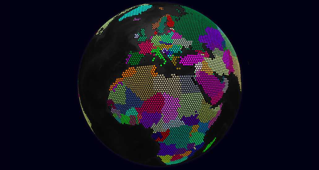
array
[]
List of polygon shapes to represent in the hexed polygons map layer. Each polygon is displayed as a tesselated group of hexagons that approximate the polygons shape according to the resolution specified in hexPolygonResolution.
hexPolygonLabel
string or func
name
Hexed polygon object accessor function or attribute for label (shown as tooltip). Supports plain text or HTML content.
hexPolygonGeoJsonGeometry
string or func
geometry
Hexed polygon object accessor function or attribute for the GeoJson geometry specification of the polygon's shape. The returned value should have a minimum of two fields: type and coordinates. Only GeoJson geometries of type Polygon or MultiPolygon are supported, other types will be skipped.
hexPolygonColor
string or func
() => '#ffffaa'
Hexed polygon object accessor function or attribute for the color of each hexagon in the polygon.
hexPolygonAltitude
number, string or func
0.001
Hexed polygon object accessor function, attribute or a numeric constant for the polygon's hexagons altitude in terms of globe radius units (0 = 0 altitude, 1 = globe radius).
hexPolygonResolution
number, string or func
3
Hexed polygon object accessor function, attribute or a numeric constant for the geographic binning resolution as defined by H3. Determines the area of the hexagons that tesselate the globe's surface. Accepts values between 0 and 15. Level 0 partitions the earth in 122 (mostly) hexagonal cells. Each subsequent level sub-divides the previous in roughly 7 hexagons.
hexPolygonMargin
number, string or func
0.2
Hexed polygon object accessor function, attribute or a numeric constant for the radial margin of each hexagon. Margins above 0 will create gaps between adjacent hexagons within a polygon. The margin is specified in terms of fraction of the hexagon's surface diameter. Values below 0 or above 1 are disadvised.
hexPolygonUseDots
bool, string or func
false
Hexed polygon object accessor function, attribute or a boolean constant for whether to represent each polygon point as a circular dot instead of an hexagon.
hexPolygonCurvatureResolution
number, string or func
5
Hexed polygon object accessor function, attribute or a numeric constant for the resolution (in angular degrees) of each hexed polygon surface curvature. The finer the resolution, the more the polygon hexes are fragmented into smaller faces to approximate the spheric surface, at the cost of performance.
hexPolygonDotResolution
number, string or func
12
Hexed polygon object accessor function, attribute or a numeric constant for the resolution of each circular dot, expressed in how many slice segments to divide the circumference. Higher values yield smoother circles, at the cost of performance. This is only applicable in dot representation mode.
hexPolygonsTransitionDuration
number
0
Duration (ms) of the transition to animate hexed polygons altitude and margin changes. A value of 0 will move the hexagons immediately to their final state. New hexed polygons are animated by sizing each hexagon from 0 radius.
onHexPolygonClick
func
-
Callback function for hexed polygon (left-button) clicks. The polygon object, the event object and the clicked coordinates are included as arguments: onHexPolygonClick(polygon, event, { lat, lng, altitude }).
onHexPolygonRightClick
func
-
Callback function for hexed polygon right-clicks. The polygon object, the event object and the clicked coordinates are included as arguments: onHexPolygonRightClick(polygon, event, { lat, lng, altitude }).
onHexPolygonHover
func
-
Callback function for hexed polygon mouse over events. The polygon object (or null if there's no polygon under the mouse line of sight) is included as the first argument, and the previous polygon object (or null) as second argument: onHexPolygonHover(polygon, prevPolygon).
Tiles Layer
Prop
Type
Default
Description
tilesData
array
[]
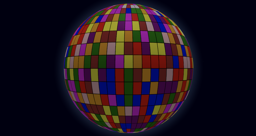
List of tiles to represent in the tiles map layer. Each tile is displayed as a spherical surface segment. The segments can be placed side-by-side for a tiled surface and each can be styled separately.
tileLabel
string or func
name
Tile object accessor function or attribute for label (shown as tooltip). Supports plain text or HTML content.
tileLat
number, string or func
lat
Tile object accessor function, attribute or a numeric constant for the segment's centroid latitude coordinate.
tileLng
number, string or func
lng
Tile object accessor function, attribute or a numeric constant for the segment's centroid longitude coordinate.
tileAltitude
number, string or func
0.01
Tile object accessor function, attribute or a numeric constant for the segment's altitude in terms of globe radius units.
tileWidth
number, string or func
1
Tile object accessor function, attribute or a numeric constant for the segment's longitudinal width, in angular degrees.
tileHeight
number, string or func
1
Tile object accessor function, attribute or a numeric constant for the segment's latitudinal height, in angular degrees.
tileUseGlobeProjection
bool, string or func
true
Tile object accessor function, attribute or a boolean constant for whether to use the globe's projection to shape the segment to its relative tiled position (true), or break free from this projection and shape the segment as if it would be laying directly on the equatorial perimeter (false).
tileMaterial
Material, string or func
() => new MeshLambertMaterial({ color: '#ffbb88' })
Tile object accessor function, attribute or material object for the ThreeJS material used to style the segment's surface.
tileCurvatureResolution
number, string or func
5
Tile object accessor function, attribute or a numeric constant for the resolution (in angular degrees) of the surface curvature. The finer the resolution, the more the tile geometry is fragmented into smaller faces to approximate the spheric surface, at the cost of performance.
tilesTransitionDuration
number
1000
Duration (ms) of the transition to animate tile changes involving geometry modifications. A value of 0 will move the tiles immediately to their final position. New tiles are animated by scaling them from the centroid outwards.
onTileClick
func
-
Callback function for tile (left-button) clicks. The tile object, the event object and the clicked coordinates are included as arguments: onTileClick(tile, event, { lat, lng, altitude }).
onTileRightClick
func
-
Callback function for tile right-clicks. The tile object, the event object and the clicked coordinates are included as arguments: onTileRightClick(tile, event, { lat, lng, altitude }).
onTileHover
func
-
Callback function for tile mouse over events. The tile object (or null if there's no tile under the mouse line of sight) is included as the first argument, and the previous tile object (or null) as second argument: onTileHover(tile, prevTile).
Particles Layer
Prop
Type
Default
Description
particlesData
array
[]
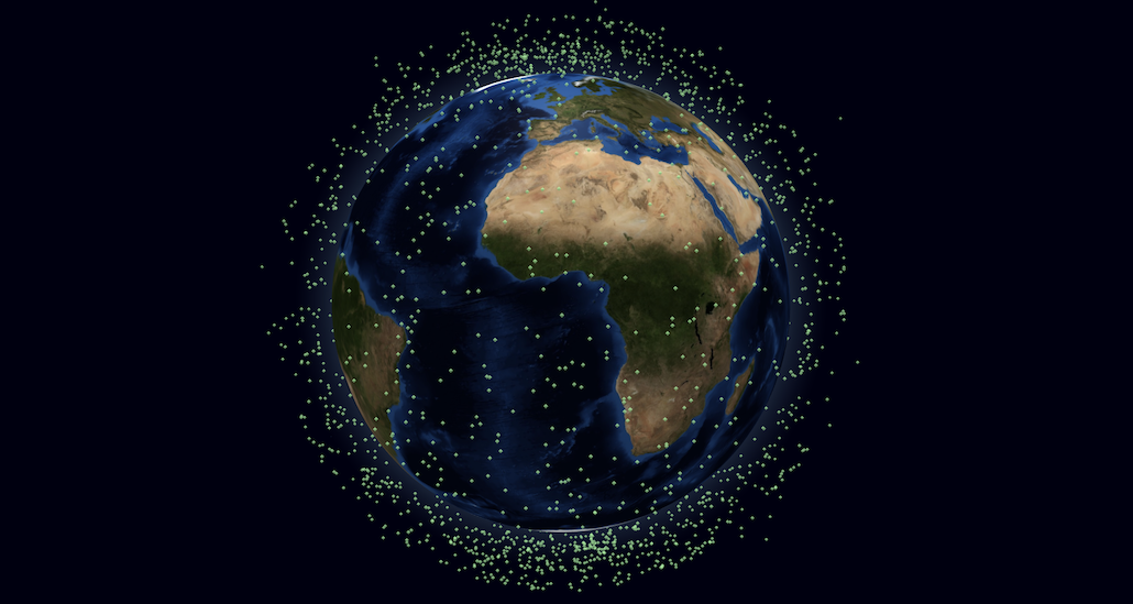
List of particle sets to represent in the particles map layer. Each particle set is displayed as a group of Points. Each point in the group is a geometry vertex and can be individually positioned anywhere relative to the globe.
particlesList
string or func
d => d
Particle set accessor function or attribute for the list of particles in the set. By default, the data structure is expected to be an array of arrays of individual particle objects.
particleLabel
string or func
name
Particle object accessor function or attribute for label (shown as tooltip). Supports plain text or HTML content.
particleLat
number, string or func
lat
Particle object accessor function, attribute or a numeric constant for the latitude coordinate.
particleLng
number, string or func
lng
Particle object accessor function, attribute or a numeric constant for the longitude coordinate.
particleAltitude
number, string or func
0.01
Particle object accessor function, attribute or a numeric constant for the altitude in terms of globe radius units.
particlesSize
number, string or func
0.5
Particle set accessor function, attribute or a numeric constant for the size of all the particles in the group.
particlesSizeAttenuation
bool, string or func
true
Particle set accessor function, attribute or a boolean constant for whether the size of each particle on the screen should be attenuated according to the distance to the camera.
particlesColor
string or func
white
Particle set accessor function or attribute for the color of all the particles in the group. This setting will be ignored if particlesTexture is defined.
particlesTexture
string or func
-
Particle set accessor function or attribute for the Texture to be applied to all the particles in the group.
onParticleClick
func
-
Callback function for particle (left-button) clicks. The particle object, the event object and the clicked coordinates are included as arguments: onParticleClick(particle, event, { lat, lng, altitude }).
onParticleRightClick
func
-
Callback function for particle right-clicks. The particle object, the event object and the clicked coordinates are included as arguments: onParticleRightClick(particle, event, { lat, lng, altitude }).
onParticleHover
func
-
Callback function for particle mouse over events. The particle object (or null if there's no particle under the mouse line of sight) is included as the first argument, and the previous particle object (or null) as second argument: onParticleHover(particle, prevParticle).
Rings Layer
Prop
Type
Default
Description
ringsData
array
[]
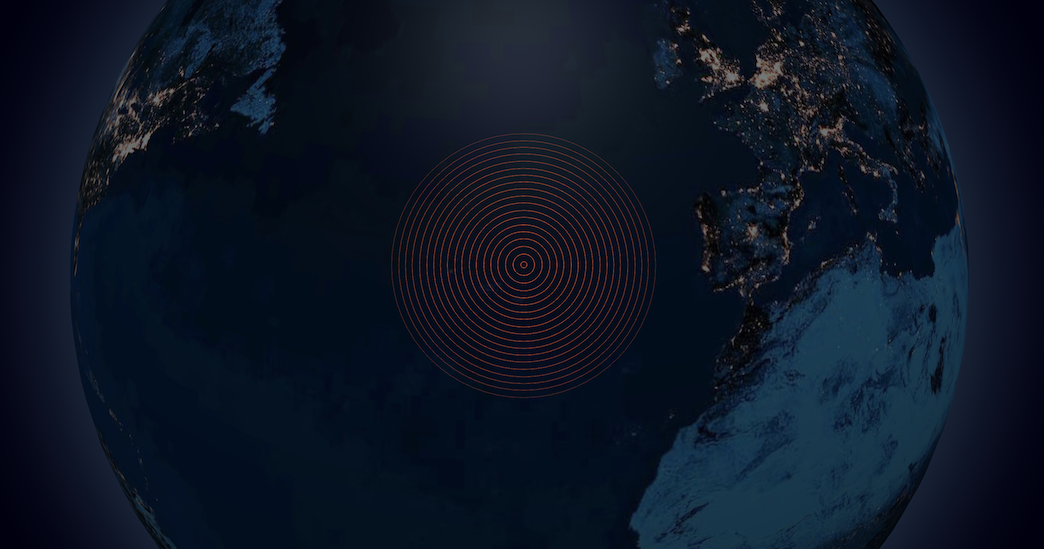
List of self-propagating ripple rings to represent in the rings map layer. Each data point is displayed as an animated set of concentric circles that propagate outwards from (or inwards to) a central point through the spherical surface.
ringLat
number, string or func
lat
Ring object accessor function, attribute or a numeric constant for each circle's center latitude coordinate.
ringLng
number, string or func
lng
Ring object accessor function, attribute or a numeric constant for each circle's center longitude coordinate.
ringAltitude
number, string or func
0.0015
Ring object accessor function, attribute or a numeric constant for the circle's altitude in terms of globe radius units.
ringColor
string, [string, ...] or func
() => '#ffffaa'
Ring object accessor function or attribute for the stroke color of each ring. Also supports radial color gradients by passing an array of colors, or a color interpolator function.
ringResolution
number
64
Geometric resolution of each circle, expressed in how many slice segments to divide the circumference. Higher values yield smoother circles.
ringMaxRadius
number, string or func
2
Ring object accessor function, attribute or a numeric constant for the maximum outer radius of the circles, at which the rings stop propagating and are removed. Defined in angular degrees.
ringPropagationSpeed
number, string or func
1
Ring object accessor function, attribute or a numeric constant for the propagation velocity of the rings, defined in degrees/second. Setting a negative value will invert the direction and cause the rings to propagate inwards from the maxRadius.
ringRepeatPeriod
number, string or func
700
Ring object accessor function, attribute or a numeric constant for the interval of time (in ms) to wait between consecutive auto-generated concentric circles. A value less or equal than 0 will disable the repetition and emit a single ring.
Labels Layer
Prop
Type
Default
Description
labelsData
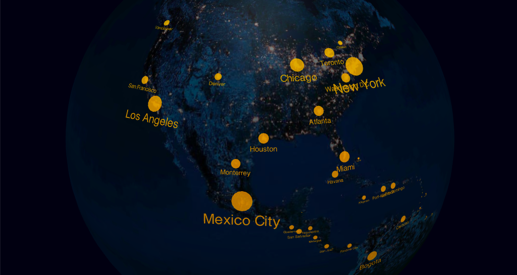
array
[]
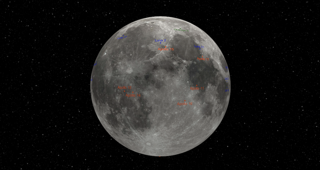
List of label objects to represent in the labels map layer.
labelLabel
string or func
-
Label object accessor function or attribute for its own tooltip label. Supports plain text or HTML content.
labelLat
number, string or func
lat
Label object accessor function, attribute or a numeric constant for the latitude coordinate.
labelLng
number, string or func
lng
Label object accessor function, attribute or a numeric constant for the longitude coordinate.
labelText
string or func
text
Label object accessor function or attribute for the label text.
labelColor
string or func
() => 'lightgrey'
Label object accessor function or attribute for the label color.
labelAltitude
number, string or func
0.002
Label object accessor function, attribute or a numeric constant for the label altitude in terms of globe radius units.
labelSize
number, string or func
0.5
Label object accessor function, attribute or a numeric constant for the label text height, in angular degrees.
Text font typeface JSON object. Supports any typeface font generated by Facetype.js.
labelRotation
number, string or func
0
Label object accessor function, attribute or a numeric constant for the label rotation in degrees. The rotation is performed clockwise along the axis of its latitude parallel plane.
labelResolution
number
3
The text geometric resolution of each label, expressed in how many segments to use in the text curves. Higher values yield smoother labels.
labelIncludeDot
bool, string or func
true
Label object accessor function, attribute or a bool constant for whether to include a dot marker next to the text indicating the exact lat, lng coordinates of the label. If enabled the text will be rendered offset from the dot.
labelDotRadius
number, string or func
0.1
Label object accessor function, attribute or a numeric constant for the radius of the dot marker, in angular degrees.
labelDotOrientation
string or func
() => 'bottom'
Label object accessor function or attribute for the orientation of the label if the dot marker is present. Possible values are right, top and bottom.
labelsTransitionDuration
number
1000
Duration (ms) of the transition to animate label changes involving position modifications (lat, lng, altitude, rotation). A value of 0 will move the labels immediately to their final position. New labels are animated by scaling their size.
onLabelClick
func
-
Callback function for label (left-button) clicks. The label object, the event object and the clicked coordinates are included as arguments: onLabelClick(label, event, { lat, lng, altitude }).
onLabelRightClick
func
-
Callback function for label right-clicks. The label object, the event object and the clicked coordinates are included as arguments: onLabelRightClick(label, event, { lat, lng, altitude }).
onLabelHover
func
-
Callback function for label mouse over events. The label object (or null if there's no label under the mouse line of sight) is included as the first argument, and the previous label object (or null) as second argument: onLabelHover(label, prevlabel).
HTML Elements Layer
Prop
Type
Default
Description
htmlElementsData
array
[]
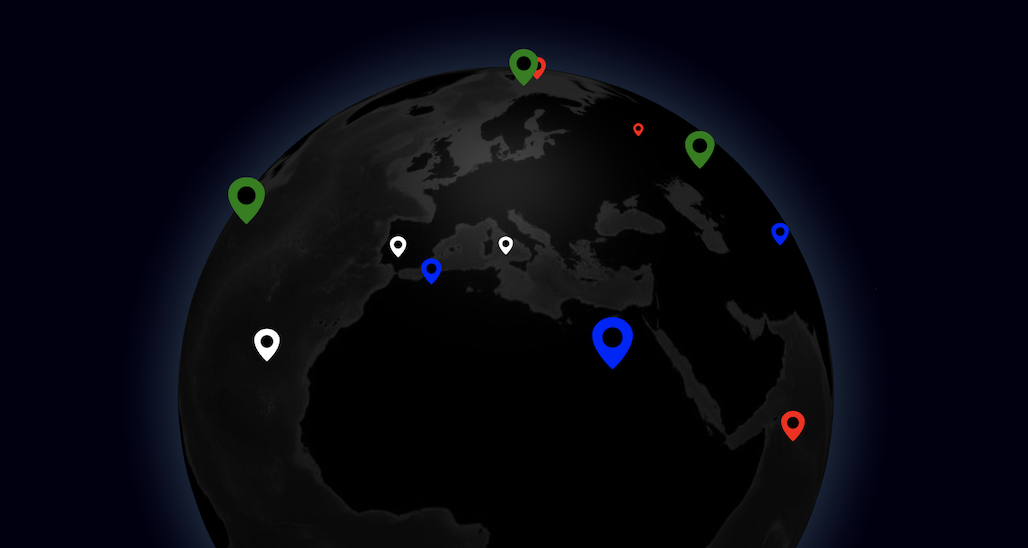
List objects to represent in the HTML elements map layer. Each HTML element is rendered using ThreeJS CSS2DRenderer.
htmlLat
number, string or func
lat
HTML element accessor function, attribute or a numeric constant for the latitude coordinate of the element's central position.
htmlLng
number, string or func
lng
HTML element accessor function, attribute or a numeric constant for the longitude coordinate of the element's central position.
htmlAltitude
number, string or func
0
HTML element accessor function, attribute or a numeric constant for the altitude coordinate of the element's position, in terms of globe radius units.
htmlElement
string or func
null
Accessor function or attribute to retrieve the DOM element to use. Should return an instance of HTMLElement.
htmlElementVisibilityModifier
func(elem, isVisible)
-
Custom function that defines how elements are shown/hidden according to whether they are in front or behind the globe. The function receives two arguments (elem, isVisible), the HTML element and a boolean indicating if the element should be visible. By default the Three object itself is automatically hidden when behind the globe.
htmlTransitionDuration
number
1000
Duration (ms) of the transition to animate HTML elements position changes. A value of 0 will move the elements immediately to their final position.
3D Objects Layer
Prop
Type
Default
Description
objectsData
array
[]
Getter/setter for the list of custom 3D objects to represent in the objects layer. Each object is rendered according to the objectThreeObject method.
objectLabel
string or func
name
Object accessor function or attribute for its own tooltip label. Supports plain text or HTML content.
objectLat
number, string or func
lat
Object accessor function, attribute or a numeric constant for the latitude coordinate of the object's position.
objectLng
number, string or func
lng
Object accessor function, attribute or a numeric constant for the longitude coordinate of the object's position.
objectAltitude
number, string or func
0.01
Object accessor function, attribute or a numeric constant for the altitude coordinate of the object's position, in terms of globe radius units.
objectRotation
{[x], [y], [z]}, string or func
Object accessor function, attribute or a {x, y, z} object for the object's rotation (in degrees). Each dimension is optional, allowing for rotation only in some axes. Rotation is applied in the order X->Y->Z.
objectFacesSurface
bool, string or func
true
Object accessor function, attribute or a boolean constant for whether the object should be rotated to face (away from) the globe surface (true), or be left in its original universe orientation (false).
objectThreeObject
Object3d, string or func
A yellow sphere
Object accessor function or attribute for defining a custom 3d object to render as part of the objects map layer. Should return an instance of ThreeJS Object3d.
onObjectClick
func
-
Callback function for object (left-button) clicks. The object itself, the event and the clicked coordinates are included as arguments: onObjectClick(obj, event, { lat, lng, altitude }).
onObjectRightClick
func
-
Callback function for object right-clicks. The object itself, the event and the clicked coordinates are included as arguments: onObjectRightClick(obj, event, { lat, lng, altitude }).
onObjectHover
func
-
Callback function for object mouse over events. The object itself (or null if there's no object under the mouse line of sight) is included as the first argument, and the previous object (or null) as second argument: onObjectHover(obj, prevObj).
Custom Layer
Prop
Type
Default
Description
customLayerData
array
[]
List of items to represent in the custom map layer. Each item is rendered according to the customThreeObject method.
customLayerLabel
string or func
name
Object accessor function or attribute for label (shown as tooltip). Supports plain text or HTML content.
customThreeObject
Object3d, string or func
-
Object accessor function or attribute for generating a custom 3d object to render as part of the custom map layer. Should return an instance of ThreeJS Object3d.
customThreeObjectUpdate
string or func
-
Object accessor function or attribute for updating an existing custom 3d object with new data. This can be used for performance improvement on data updates as the objects don't need to be removed and recreated at each update. The callback method's signature includes the object to be update and its new data: customThreeObjectUpdate((obj, objData) => { ... }).
onCustomLayerClick
func
-
Callback function for custom object (left-button) clicks. The custom object, the event object and the clicked coordinates are included as arguments: onCustomLayerClick(obj, event, { lat, lng, altitude }).
onCustomLayerRightClick
func
-
Callback function for custom object right-clicks. The custom object, the event object and the clicked coordinates are included as arguments: onCustomLayerRightClick(obj, event, { lat, lng, altitude }).
onCustomLayerHover
func
-
Callback function for custom object mouse over events. The custom object (or null if there's no object under the mouse line of sight) is included as the first argument, and the previous custom object (or null) as second argument: onCustomLayerHover(obj, prevObj).
Render Control
Prop
Type
Default
Description
rendererConfig
object
{ antialias: true, alpha: true }
Configuration parameters to pass to the ThreeJS WebGLRenderer constructor. This prop only has an effect on component mount.
enablePointerInteraction
bool
true
Whether to enable the mouse tracking events. This activates an internal tracker of the canvas mouse position and enables the functionality of object hover/click and tooltip labels, at the cost of performance. If you're looking for maximum gain in your globe performance it's recommended to switch off this property.
pointerEventsFilter
func
() => true
Filter function which defines whether a particular object can be the target of pointer interactions. In general, objects that are closer to the camera get precedence in capturing pointer events. This function allows having ignored object layers so that pointer events can be passed through to deeper objects in the various globe layers. The ThreeJS object and its associated data (if any) are passed as arguments: pointerEventsFilter(obj, data). The function should return a boolean value.
lineHoverPrecision
number
0.2
Precision to use when detecting hover events over Line and Points objects, such as arcs, paths or particles.
showPointerCursor
bool or func
true
Whether to show a pointer cursor when hovering over clickable portions of the globe. Accepts either a boolean constant or a callback function which receives the object (type and data) currently under the cursor and is expected to return a boolean value.
Method
Arguments
Description
pointOfView
{ lat, lng, altitude } [,ms=0]
By default the camera will aim at the cross between the equator and the prime meridian (0,0 coordinates), at an altitude of 2.5 globe radii.
pauseAnimation
-
Pauses the rendering cycle of the component, effectively freezing the current view and cancelling all user interaction. This method can be used to save performance in circumstances when a static image is sufficient.
resumeAnimation
-
Resumes the rendering cycle of the component, and re-enables the user interaction. This method can be used together with pauseAnimation for performance optimization purposes.
onZoom
func
Callback function for point-of-view changes by zooming or rotating the globe using the orbit controls. The current point of view (with the syntax { lat, lng, altitude }) is included as sole argument.
lights
array
Getter/setter for the list of lights to use in the scene. Each item should be an instance of Light.
scene
-
Access the internal ThreeJS Scene. Can be used to extend the current scene with additional objects not related to globe.gl.
Access the post-processing composer. Use this to add post-processing rendering effects to the scene. By default the composer has a single pass (RenderPass) that directly renders the scene without any effects.
Returns the cartesian distance of a globe radius in absolute spatial units.
getCoords
lat, lng [,altitude=0]
Utility method to translate spherical coordinates to cartesian. Given a pair of latitude/longitude coordinates and optionally altitude (in terms of globe radius units), returns the equivalent {x, y, z} cartesian spatial coordinates.
getScreenCoords
lat, lng [,altitude=0]
Utility method to translate spherical coordinates to the viewport domain. Given a pair of latitude/longitude coordinates and optionally altitude (in terms of globe radius units), returns the current equivalent {x, y} in viewport coordinates.
toGeoCoords
{ x, y, z }
Utility method to translate cartesian coordinates to the geographic domain. Given a set of 3D cartesian coordinates {x, y, z}, returns the equivalent {lat, lng, altitude} spherical coordinates. Altitude is defined in terms of globe radius units.
toGlobeCoords
x, y
Utility method to translate viewport coordinates to the globe surface coordinates directly under the specified viewport pixel. Returns the globe coordinates in the format { lat, lng }, or null if the globe does not currently intersect with that viewport location.